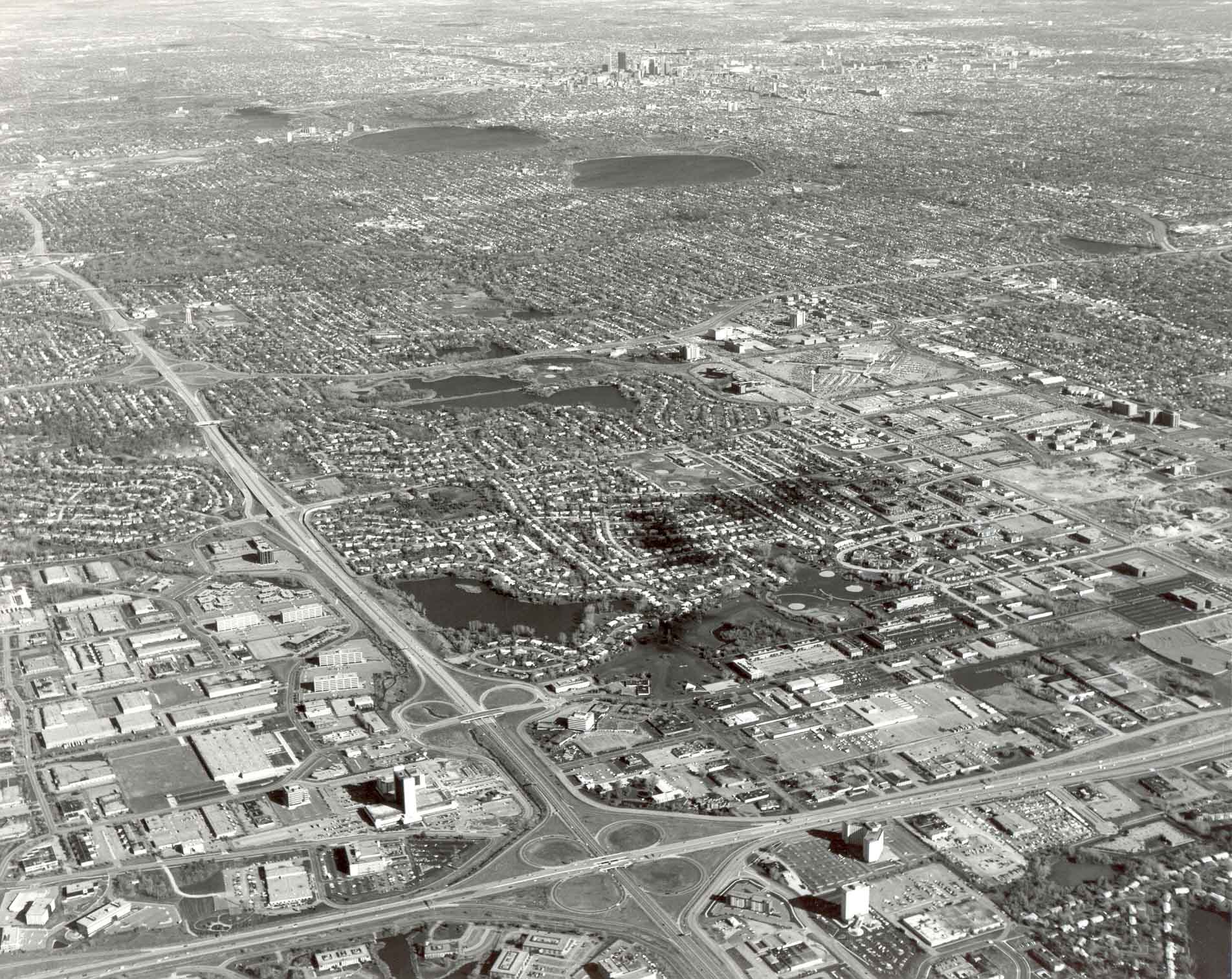
The nearly uninterrupted level plain south of downtown Minneapolis (upper right), which accommodated most streetcar-era growth, contrasts with the rolling, lake-studded moraine land, the scene of most auto-era expansion. Roughly the lower two-thirds of the area pictured in 1984 was built up since World War II. Western and southern legs of the first belt freeway around Minneapolis intersect in Edina and Bloomington, in the foreground. The high-rise concentration in downtown Minneapolis (top center) is eight miles to the northeast. Aerial photo by K. Bordner Consultants, Inc., Minneapolis, MN.